
From Ground to Cloud: The Digital Transformation of Surveying in Africa
- anutsuglo
- Aug 29, 2025
- 2 min read

Surveying has always been the foundation of engineering and construction. From marking land boundaries to planning new roads and mines, accurate data about the ground beneath us is the starting point of every successful project.
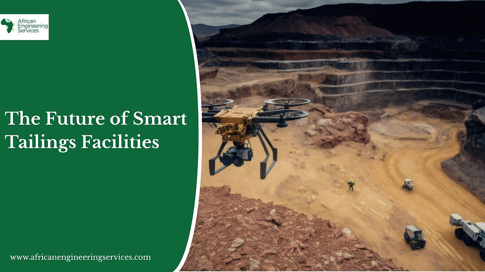
But today, surveying in Africa is no longer limited to tripods, tapes, and theodolites. We are witnessing a digital transformation, where advanced tools such as GIS mapping, drones, 3D laser scanning, and cloud-based platforms are reshaping the industry. This shift is not just about technology. It is about unlocking smarter, faster, and more reliable infrastructure development across the continent.
The Evolution: From Traditional to Digital
For decades, surveyors relied on manual instruments and paper-based records. While these methods laid the groundwork for Africa’s early infrastructure, they often came with delays, inaccuracies, and difficulties in scaling across vast terrains.
Today, however, the journey has moved “from ground to cloud.” With satellite data, drones, and geospatial intelligence systems, surveyors can capture, process, and share data in real time. This means fewer errors, quicker decision-making, and greater confidence in project outcomes.
Game-Changing Technologies in African Surveying
1. GIS & Big Data Integration
Surveying is now about more than maps. It is about geospatial intelligence.Governments and private developers rely on GIS platforms to manage urban growth, plan transportation networks, and monitor environmental changes. With Africa facing rapid urbanization and climate pressures, big data-driven surveying is proving indispensable.
2. 3D Laser Scanning & BIM
Digital twins are revolutionizing project design and execution.Through 3D laser scanning and Building Information Modeling (BIM), engineers can now visualize entire road networks, bridges, or mining facilities before construction begins. This reduces costly redesigns, enhances precision, and accelerates delivery.
3. Mobile & Cloud-Based Surveying Tools
In today’s world, surveying does not stop at the site.With mobile devices and cloud platforms, teams in the field and decision-makers at headquarters can collaborate in real time, cutting down delays and ensuring data accuracy across borders. For Africa, where many projects span multiple regions and challenging terrains, this is a game-changer.
Why This Matters for Africa
The stakes are high. Africa is projected to add 1 billion urban residents by 2050, creating a massive demand for housing, transport, energy, and mining infrastructure. Without accurate surveying, these projects risk delays, overruns, or even failure.
Digital surveying ensures that Africa’s growth is built on solid ground literally and strategically. By adopting these tools, governments and private companies can plan smarter, invest wisely, and minimize risks.
African Engineering Services: Bridging Tradition with Innovation
At African Engineering Services, we understand that surveying is both an art and a science. Our team combines the precision of traditional methods with the power of modern technologies, from GIS mapping to 3D laser scanning and cloud-based solutions.
Whether it is supporting mining exploration, developing road networks, or enabling cross-border construction projects, African Engineering Services provides the geospatial intelligence that keeps Africa building with confidence.
Final Word
Surveying in Africa has gone digital, and the future is already here.From ground measurements to cloud intelligence, the transformation is shaping how we build our cities, mines, and transport systems.
African Engineering Services is proud to stand at this intersection, delivering survey services that connect tradition with innovation, and ground with cloud.


Comments